Rendering the real night sky server-side with starplot + skyfield
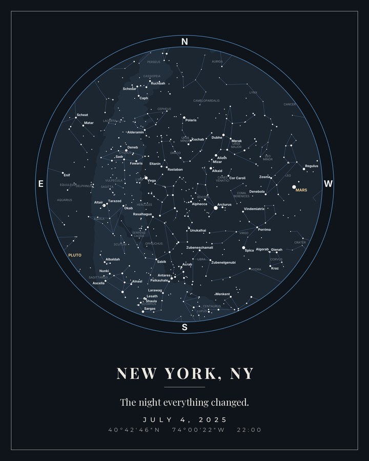
Most "star map" products draw a decorative star field. For dostad I wanted the opposite: the actual sky — the stars and planets in their true positions — for any date, time and place on Earth.
The stack
- starplot for the projection and the plot (10+ projections, exports PNG/SVG/JPEG). - skyfield against NASA JPL ephemeris data for the positions.
Both run server-side in Python (FastAPI on the app side). Rendering on the server rather than in the browser is what lets the same code produce a screen-preview and a print-resolution SVG.
The part that matters: not shipping a pretty lie
A star map is only worth anything if it is true. So there is a reproducible check: the renderer is validated against a documented event — the 2020 Great Conjunction, where Jupiter and Saturn were 6.1 arcminutes apart. The test plot reproduces it. If it didn't, the whole thing would just be wallpaper.
Output
One request produces a PNG (raster, for preview and sharing) and an SVG (vector, which prints at any size), in a few themes.
You can try the free version — a watermarked preview, no signup — at dostad.com. The paid file is the same render without the watermark, from $5 USD.