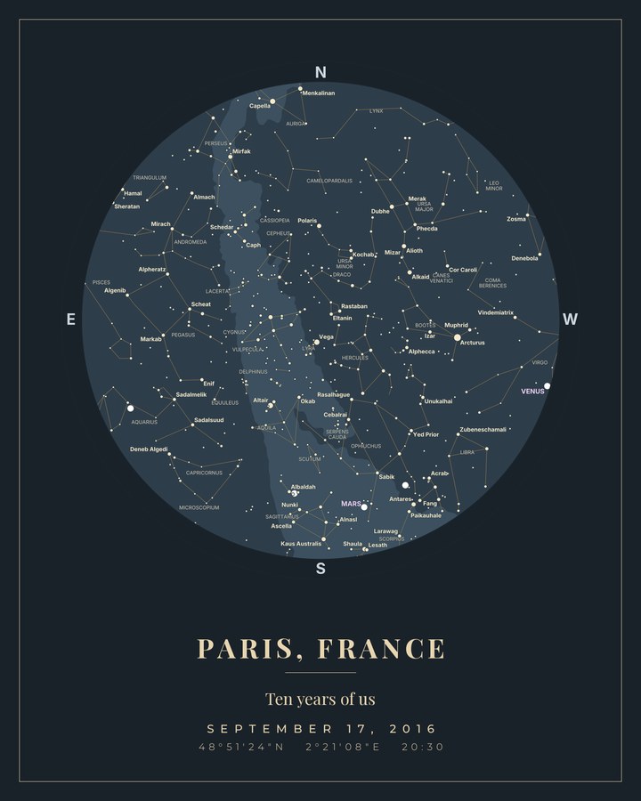
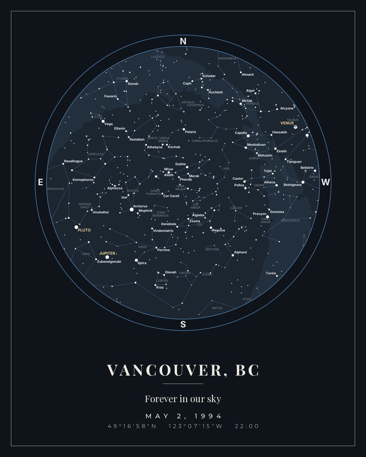
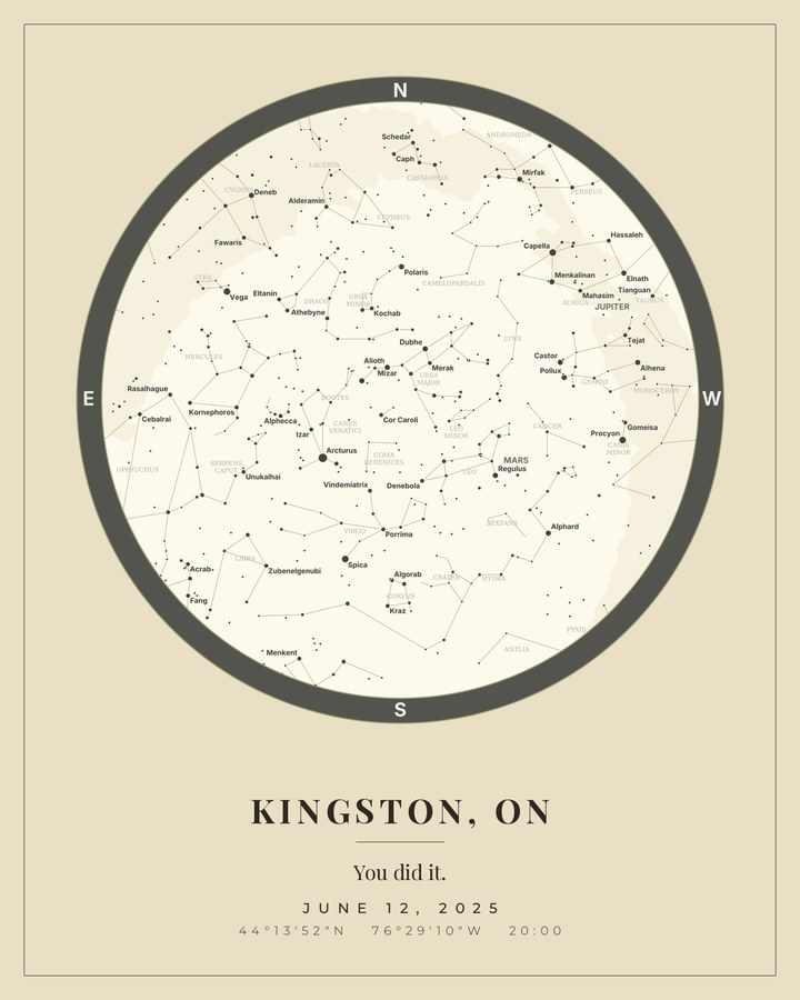
It’s a real measurement
Not clip art of a starry sky. We compute where every star and planet actually stood, from the same ephemeris data used for spacecraft navigation — for your coordinates, to the minute.
Custom star maps · from $5
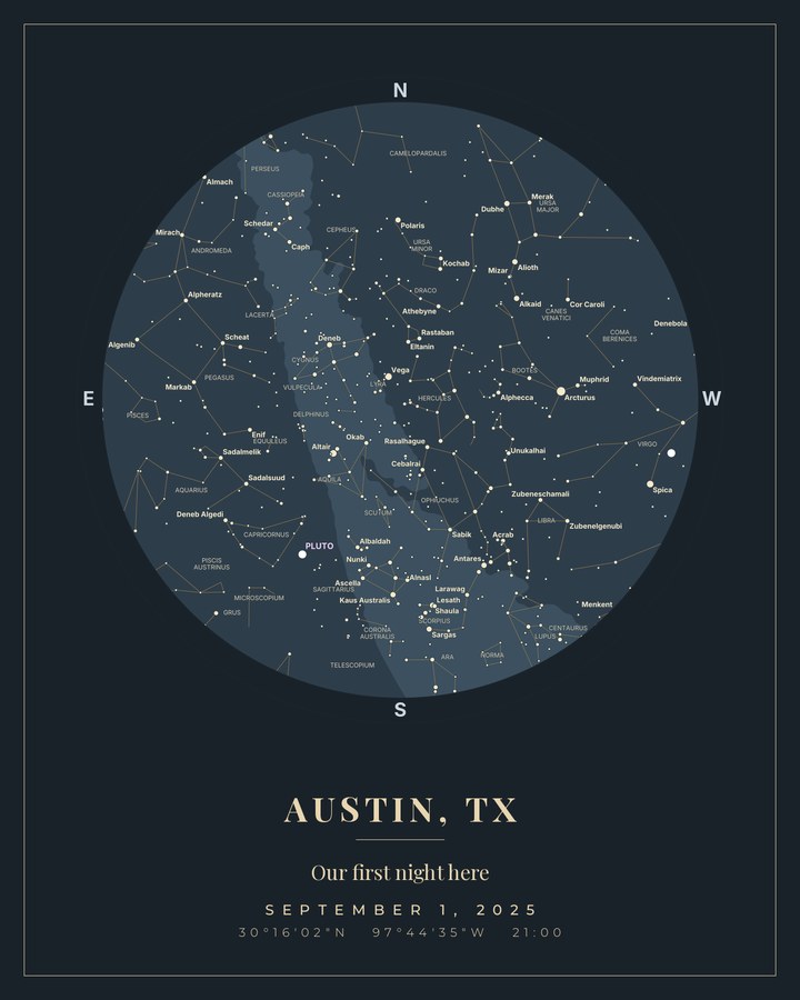
Every moment has a sky. Give back the one that was overhead when it happened — the real stars, in their real positions, for the exact date, time and place.

Not clip art of a starry sky. We compute where every star and planet actually stood, from the same ephemeris data used for spacecraft navigation — for your coordinates, to the minute.
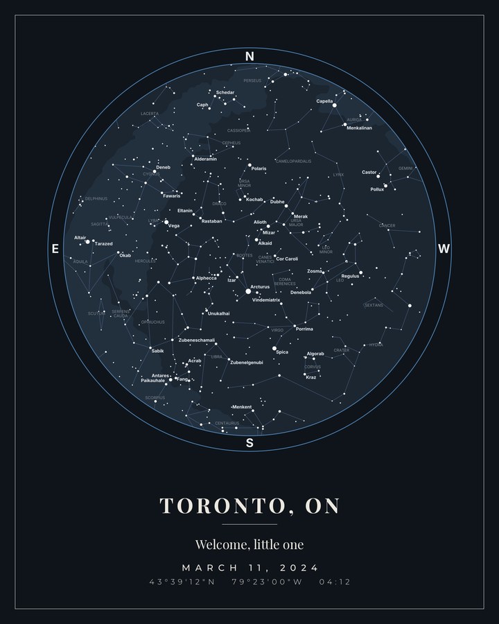
The sky above a hospital in Toronto at 04:12 belongs to exactly one birth. Change the place or the hour and the map changes with it. That’s the whole gift.
Typeset like a print, not a screenshot: elegant serif titling, a hairline frame, and an export big enough for a large format print.
Search a city, landmark or address, then set the date and time. The local time zone is applied for you.
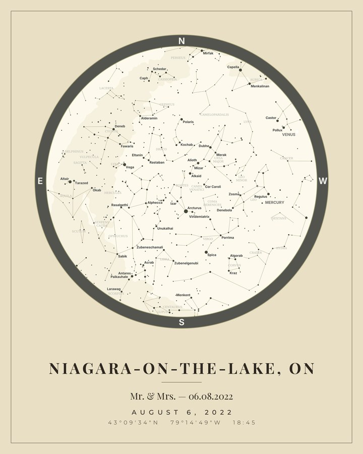
Pick a colour theme, add a short message, and choose whether to show constellation and planet names.
See the real sky before you pay. Download the high-resolution file — the framed print is coming soon.
Your personalised star map for $5 CAD: a high-resolution PNG plus a scalable SVG. Digital files only — printing and a frame are not included. Preview your map for free before you pay.
$5 CAD
Coming soon
$149 CAD
Made to order — all sales final. Refund policy
Framed prints are coming soon — the tier is not on sale yet. The digital file is available now.
Coming soonPrices in Canadian dollars. Secure checkout — card details are handled by our payment processor and never touch our servers.
A star map is only a gift if it’s true. Ours is tested against documented astronomical events, not just eyeballed.
Reference test · Great Conjunction
On 21 December 2020 Jupiter and Saturn passed 6.1 arcminutes apart — their closest approach since 1623, and one of the best-documented skies in modern astronomy. We render that moment and compare our output against the published figures every time the software changes.
Yes. Positions come from NASA JPL ephemeris data for your exact date, time and coordinates, and are verified against published astronomical events — see the reference test above.
$5.00 CAD for the digital download (high-resolution PNG plus scalable SVG). $149.00 CAD for the framed print — 16 × 20 in (40.6 × 50.8 cm) — coming soon.
Moments from 1900 through 2052 (UTC), anywhere on Earth. Search a city, landmark or address — the local time zone is applied automatically. Your selected local time is converted to UTC to check this range.
The digital file is generated on demand and available the moment payment completes. Framed prints are coming soon.
The digital download is available anywhere in the world — no shipping involved.
Yes. The PNG is 4096 × 5120 pixels in a 4:5 portrait shape. Choose a print size that suits the file and keep the full map and caption visible. For SVG, check that your print service accepts the format and preserves its fonts and layout. Printing and a frame cost extra. See our print sizes and file setup guide.
Yes — the preview is free and needs no account. Build your map, look at the real sky for your moment, and only then decide.
No — every map is personalised and made to order, and all sales are final. Please check your date, time and place carefully before you pay, and use the free preview to see the map first. See the refund policy.
Pick a date that matters and find out — the preview is free.
Create your star map